High-tide flooding poses big problem for US, California, federal scientists warn

The nation's coasts were hit with increased tidal flooding over the past year, part of a costly and perilous trend that will only worsen as sea levels continue to rise, federal scientists warned Wednesday.
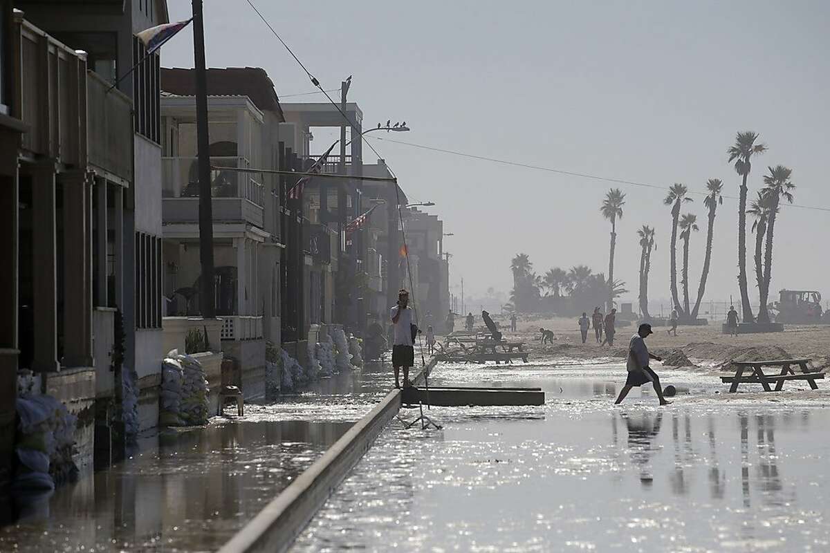
Surging ocean water was most disruptive along the Atlantic seaboard, where roads, homes and farmland were sometimes frightfully submerged last year. Washington, D.C.; Baltimore; Wilmington, N.C.; and several other cities set new records for flooding, the scientists said.
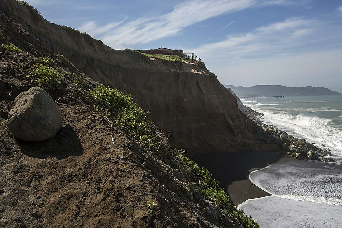
But along the West Coast, where tall cliffs and a deep continental shelf tend to blunt the impact of rising seas, there were problems, too. The most northern and southern parts of California saw significant tidal flooding, as much as 12 days of high water in some spots, according to the scientists. And most of the state is expected to experience even more flooding in the coming year — and far beyond.
- Unlimited Digital Access for 95¢
- Read more articles like this by subscribing to the San Francisco Chronicle
The findings are in a report by the National Oceanic and Atmospheric Administration. While the federal government under President Trump has been loath to recognize climate change, government scientists have continued to document its increasing impacts.
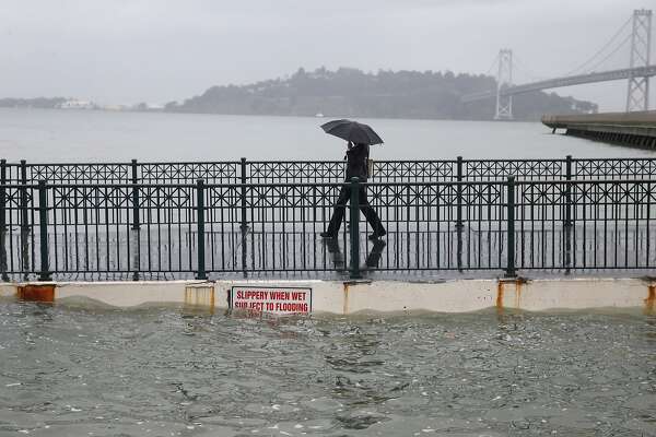
With higher seas, which now rise about an inch every six years because of global warming, flooding has moved from a phenomenon that takes place during storms to something that happens along the coast even on cloudless days. A slight boost in wind or ocean currents can send elevated waters spilling across dry, developed land.
The new report finds that coastal communities averaged five days of "sunny day" flooding, or "high tide" flooding, between May of 2018 and April of this year. That ties the record set for the same period ending in 2016 and marks a nearly twofold increase since the same period ending in 2001.
The north Atlantic coast tallied the most days of tidal flooding — a median of 10 days — largely because of nor'easters — fierce East Coast storms — on top of sea level rise. Boston had 19 flood days in the one-year period.

"In essence, the future is already here in terms of high tide impacts," said William Sweet, an oceanographer for NOAA's Center for Operational Oceanographic Products and Services and lead author of the report.
In California, tidal flooding was greatest in Humboldt Bay, according to the report. The region in the state's far north experienced 12 flood days over the past year, three times as much as the same period ending in 2001. San Diego, meanwhile, had eight flood days, compared with two during the same period ending in 2001.
San Francisco didn't see any tidal flooding last year, the report said.
NOAA narrowly defines tidal flooding as seawater jumping at least 0.5 meters above the high tide line, as measured by the agency's tide gauges at 98 locations in the United States. At such levels, federal scientists say water is extremely disruptive and potentially dangerous.
In the coming year, San Francisco is projected to experience up to two flood days. El Niño conditions alongside sea level rise are expected to drive the slight boost. By midcentury, like most parts of the country, the risk will jump significantly, with the city seeing a median of six to 25 flood days, the report concludes.
Of NOAA's 98 measured locations nationwide, more than 40 are seeing "rapid" increases in the annual rate of high tide flooding, the scientists said. Another 25 areas are trending upward but more gradually.
NOAA's report, titled 2018 State of High Tide Flooding and 2019 Outlook, is intended to help coastal communities brace for the future. It's the agency's fifth such annual release, which relies on its tide gauges, many of which have been collecting data for more than a century.
"We cannot wait to act," said Nicole LeBoeuf, acting director of NOAA's National Ocean Service. "This issue gets only more urgent and more complex with each passing day."
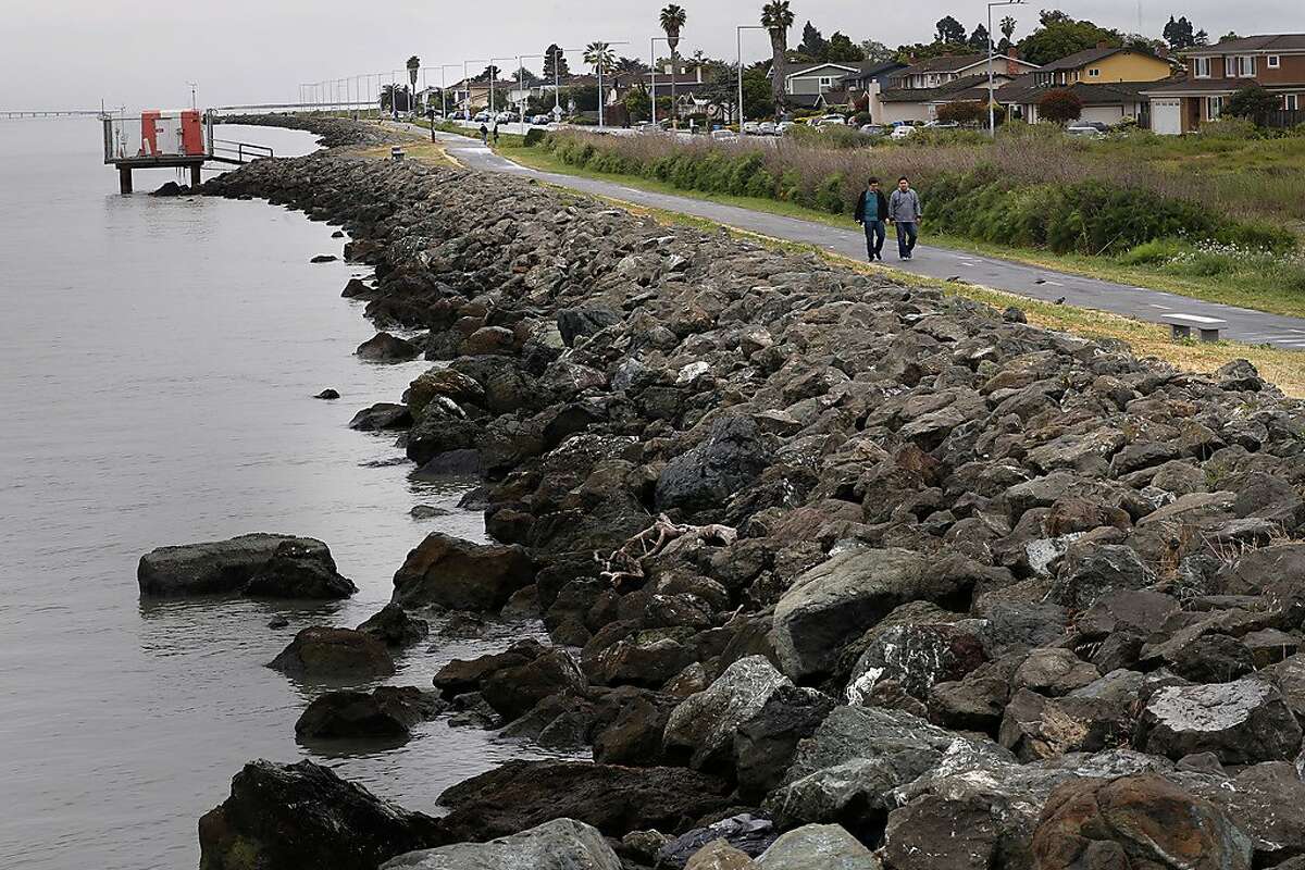
The Bay Area is more prepared for rising tides than many places, but the region still has a long way to go to withstand projections of as much of 2 feet of sea level rise by 2050.
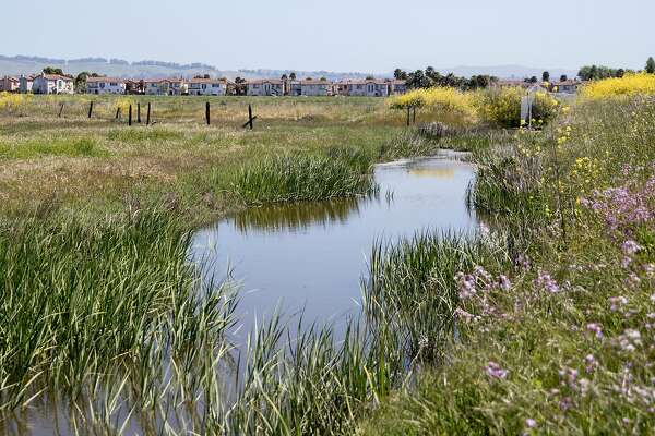
Last year, San Francisco voters approved a $425 million bond to upgrade the seawall along the Embarcadero. In 2016, Bay Area voters agreed to a new parcel tax to raise $500 million for wetland restoration and flood-control projects to help absorb the blow of rising seas.
Estimates, though, suggest the cost of safeguarding the region will run into the tens of billions of dollars. San Francisco Bay, with its 400 miles of shoreline, is lined with homes, airports, marinas and landfills, all of which will likely need protection.
"It's a challenge of enormous magnitude," said Warner Chabot, executive director of the San Francisco Estuary Institute, an organization leading the region's effort for climate adaptation. "The good news is that there is an almost explosion of interest and commitment and activity by regional government agencies and business and resource managers.
"We have a huge task ahead of us," he said.
Kurtis Alexander is a San Francisco Chronicle staff writer. Email: kalexander@sfchronicle.com Twitter: @kurtisalexander


No comments:
Post a Comment